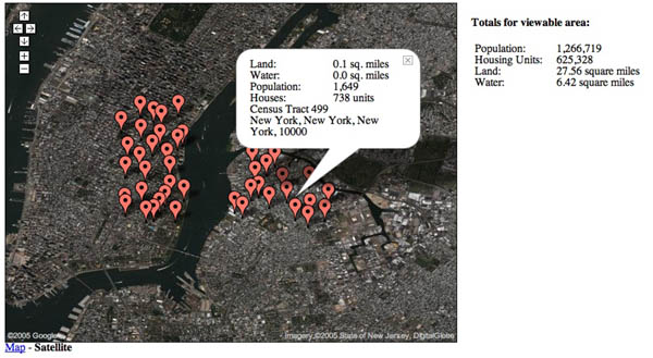
Another great hack: gCensus.com. The thing I like about this is the fluidity of the data changing across scale and location. As you zoom in and out, or drag across the map, the statistical markers re-cluster, while to the right, “totals for viewable area” (population, housing units, land/water area) shift smoothly. You feel as though you are using a highly sensitive instrument.
Hack I’d like to see: real-time birth/death map (using hospital data).
if:book
A Project of the Institute for the Future of the Book
